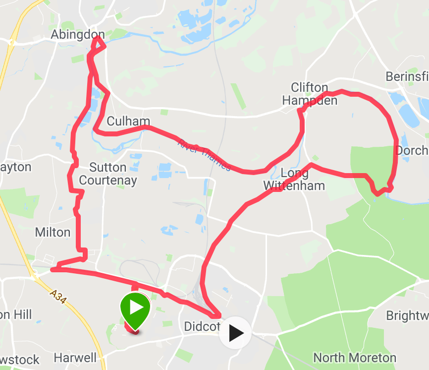
Mostly flat along the Thames Path. Some of the Thames path is a bit cut up and often is damp. Some fields of cows and sheep to navigate – especially nearer the Dorchester on Thames section. Link between Wittenham and the Thames path is via a couple of back gardens with Footpaths through them, and one stretch of footpath near a farm that is often overgrown – warning stinging nettles waist high!!!
Route from Abingdon back to Didcot much more path and gravel than mud track, except the final bit before Milton Park.


GPX File (please edit off the .xls file extension)
Please note that the blog doesn’t allow .gpx files so they are all finished .gpx.xls. just remove the .xls and all is fine!!
